
Data from the Surface Water and Ocean Topography (SWOT) satellite was used to map surface heights of the planet’s oceans and freshwater lakes and rivers.
Space

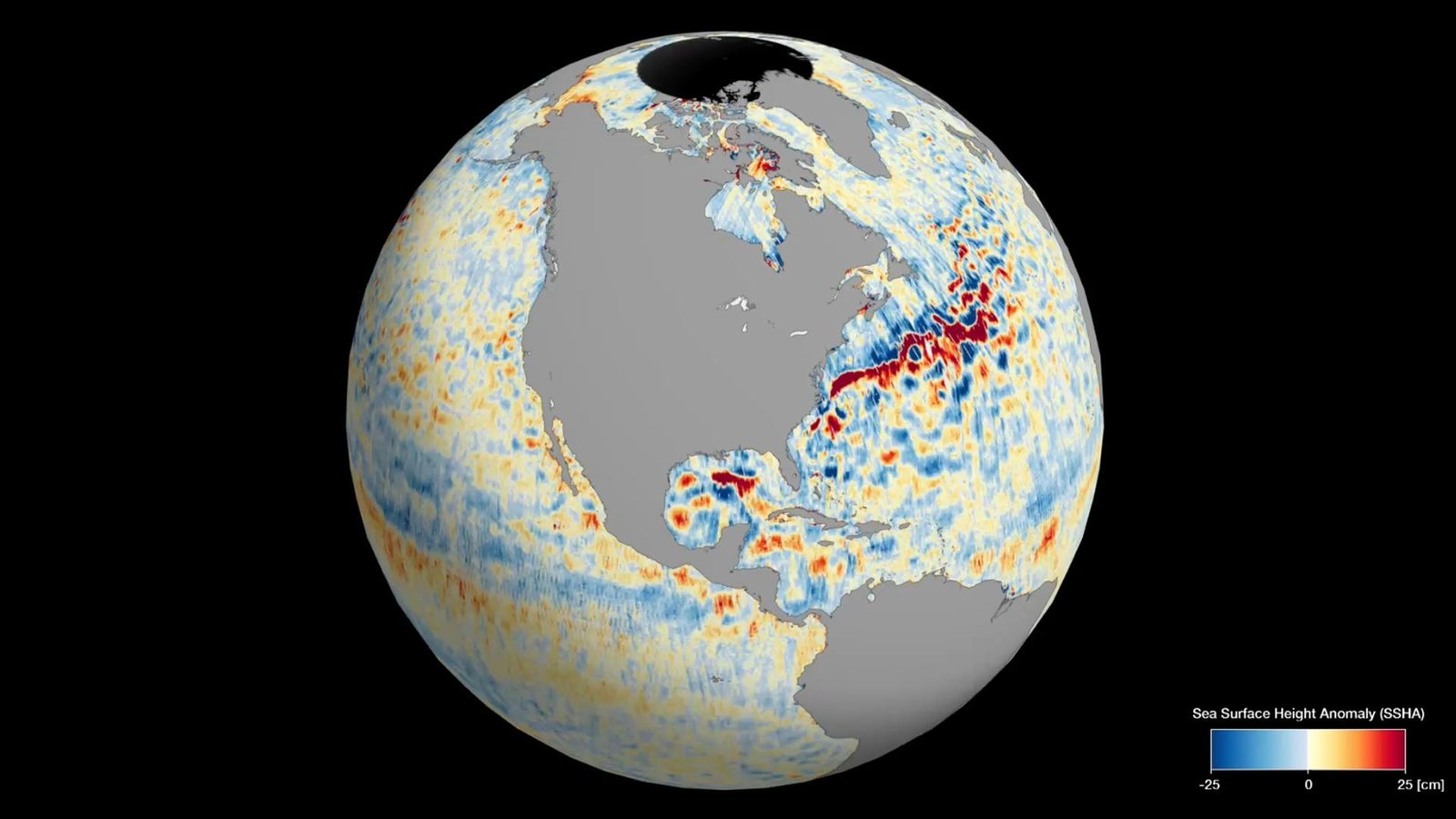
Data from the Surface Water and Ocean Topography (SWOT) satellite was used to map surface heights of the planet’s oceans and freshwater lakes and rivers.
Space
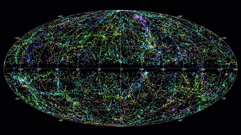
Fast radio bursts — powerful and poorly understood cosmic eruptions — tend to occur in […]
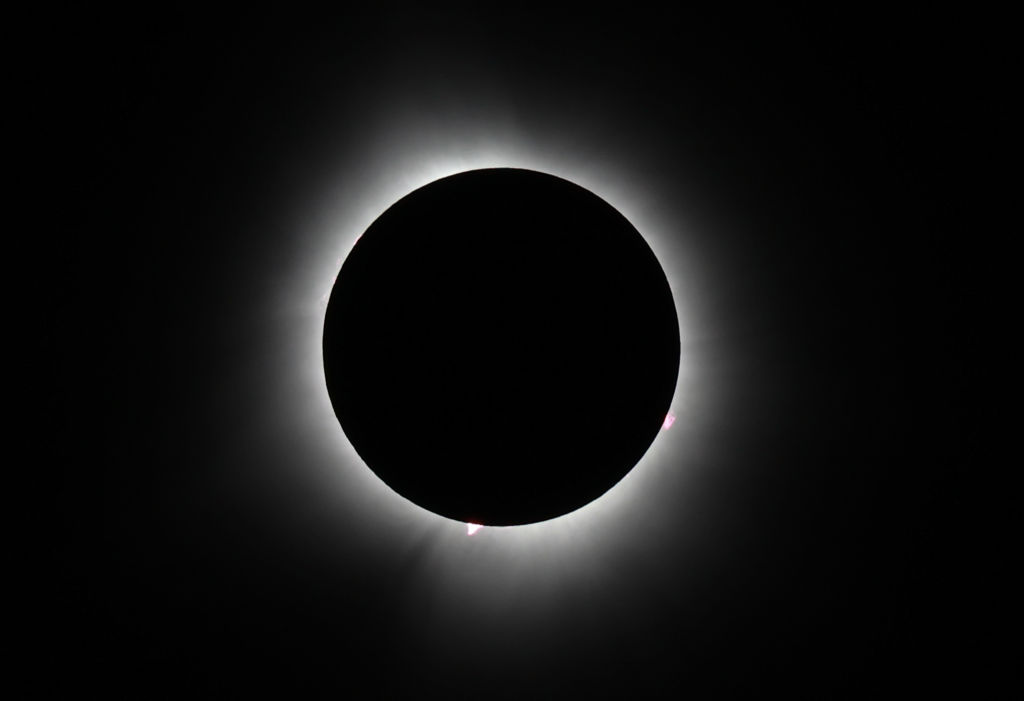
The total solar eclipse of 2024 thrilled millions of people who turned up to watch […]
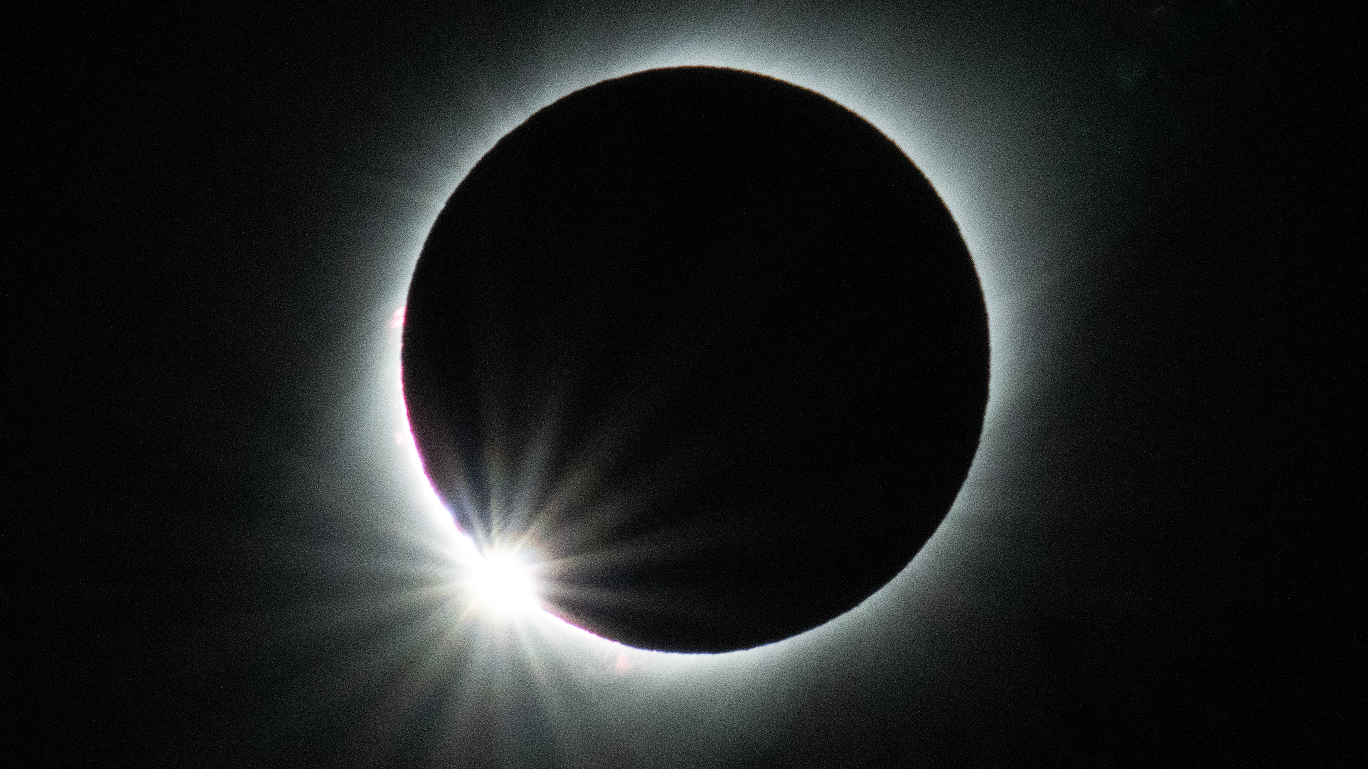
A total solar eclipse will be visible across the Americas on April 8, 2024. Here […]